We help your project further with valuable data
Looking for...
- ... A solution for inspecting hard-to-reach areas and facilities?
- ... a quick 3D analysis of progress on the construction site?
- ... an environmentally friendly way of counting wildlife and checking breeding sites in an adjacent nature reserve?
- ... a cost-effective way of crop inspection to make the best use of your land?
inspection
Drone inspection and data for your project
OmniDrones is a project partner in providing aerial inspections, geographical data and high-end photography using high-end drone technology.
Thanks to a large network, broad knowledge and experience, every project is carried out with precision and safety in the most challenging environments.
Methodology
AIR
INSPECTIONS
With drones, we can access places that are difficult, dangerous or impossible to enter for manned inspection. Drone inspection is an efficient way of inspection for industry, real estate, nature, agri and security services.
GEOGRAPHIC
DATA
We digitise terrains and develop 2D or 3D terrain models in which altitudes,
surfaces, volumes, progress and deviations are recorded.
QUALITATIVE
APPARATUS
OmniDrones uses high-quality and innovative equipment, including infrared equipment. Our drones are operated by a well-trained flight crew.
Sectors
INDUSTRY
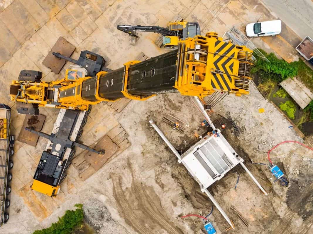
- Inspections and mapping of industrial building sites,project progress and installations
- Support for lifting and installation work
- Volume and height calculations and 2D and 3D modelling
FIXED
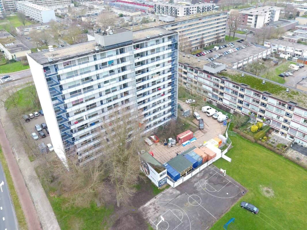
- Visual property inspections through thermal cameras, high-resolution film and photo recordings
- Large buildings, factory roofs, company facades, residential window frames, etc.
- Checking the state of maintenance and inspection of facilities such as antennas, air conditioners, chimneys, energy leaks and leaks in roofs
NATURE
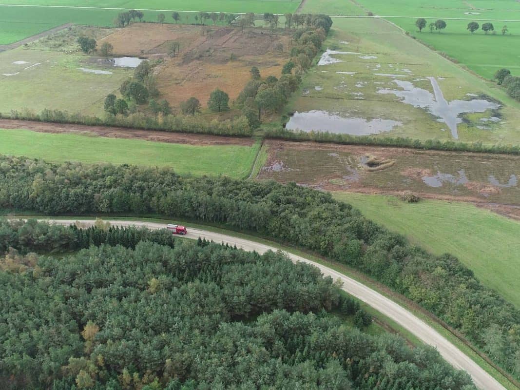
- Drone inspection and mapping of natural areas in 2D and 3D
- Observation of biodiversity, inspection of breeding sites and counts of flora and fauna
- Aerial support at incidents such as fires, floods or the search for persons
NATURE
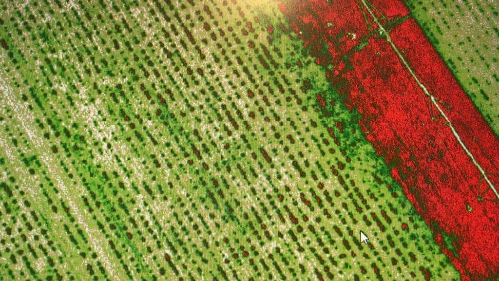
- Supporting and applying precision agriculture
- Crops are scanned with drones, data is retrieved and analysed
- Data is processed into task map and sent directly to farm machinery to adjust the crop with precision
Collaborations



"Given the professionalism and knowledge of OmniDrones, a partnership was formed and a drone was purchased to perform inspection flights on our real estate property.
Looking for support or training in the world of drones? Then I highly recommend OmniDrones!"
Hilbrand
"I enjoyed working with OmniDrones, all the information was clear on the website and on the phone Egbert was very helpful, even on his Sunday off!"
Elsbeth Hoekstra
Elsbeth Hoekstra Photography

Request a quote here
"Unmanned aviation will be a disruptive market at some point time it will be impossible to imagine."
About OmniDrones AERIAL SERVICES
The idea of Aerial Services originated in 2012. In this year, NAM Assen started inspecting flaring stations via drones. It worked a lot safer, faster and cheaper than having it done by human inspection teams.
The beginning of a drone business that was profitable in several ways. Today, many other industries are gaining inspections and geographical data from drone technology in this way.
Besides Aerial Services, OmniDrones also offers training for drone pilots in the OmniDrones Academy. In addition, because of our extensive experience and large network, we can play an (advisory) role in (setting up) innovative projects working on the further development of drone business.

